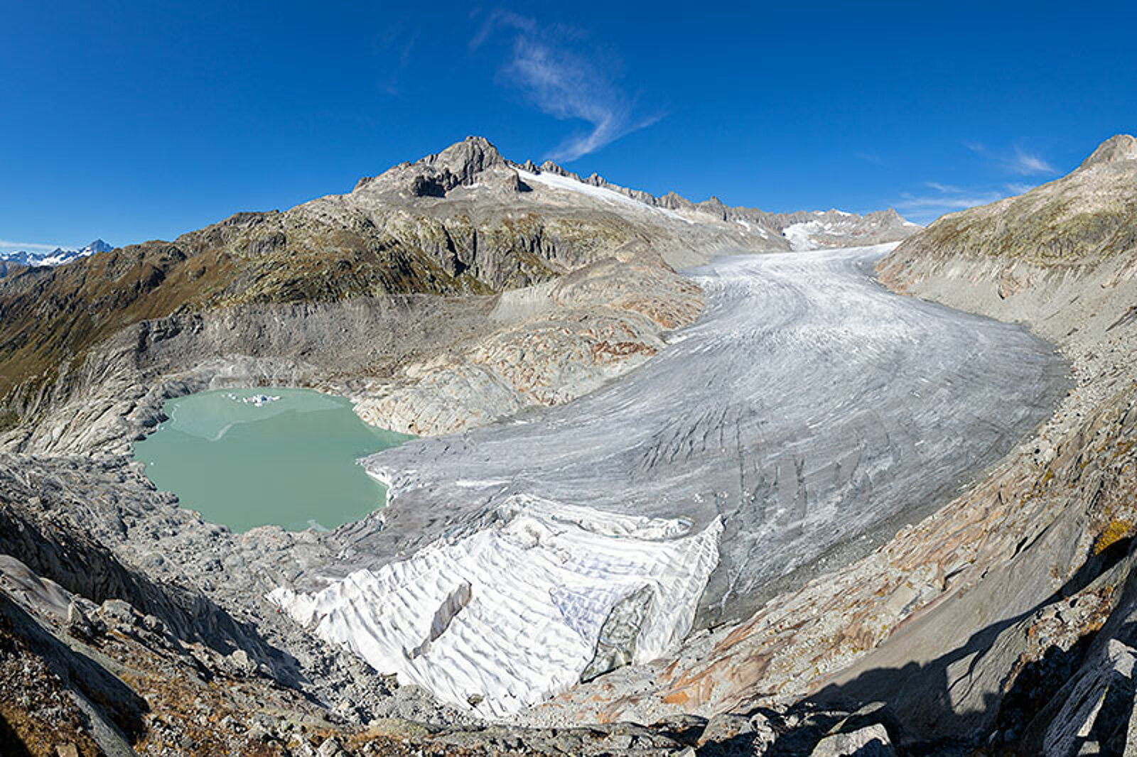
November 6, 2018 - by Simone Ulmer
Around 115,000 years ago, the last glacial period in the earth’s history began. It was an eventful time, as glaciers advanced from the Alps onto the Swiss Plateau, retreated, and then advanced again. In the process, the powerful ice flows carved out valleys, such as the Rhône Valley, bringing rock debris — ranging in size from fine sediment to boulders weighing several tonnes — across the landscape with them. This debris, deposited as moraines, formed the lush, green foothills of the Alps. The heavy boulders, known as erratics, can be found spread out across the Swiss Plateau, in Alpine valleys and in the Jura Mountains.
Almost three hundred years of glacial history research
Despite the fact that explorers and scientists have been researching the glacial history of the Alps for almost 300 years, no one has previously succeeded in unequivocally identifying which climate developments led to large-scale glaciation. Questions remained about what conditions affected how the glaciers expanded, how thick the ice was, how often the ice sheet expanded and retreated, and what caused the ice to expand at different rates in different Alpine regions.
To gain a better understanding of all this, Julien Seguinot from ETH Zurich’s Laboratory of Hydraulics, Hydrology and Glaciology, together with several colleagues, simulated glacier development in the Alps during the last 120,000 years on the CSCS supercomputer “Piz Daint”. Their study was recently published in the journal The Cryosphere.
To simulate ice build-up and glacier spread, they used a special model (Parallel Ice Sheet Model, or PISM) that they fed with data about the initial topography of mountain ranges and glaciers, the physical properties of rock and glaciers based partly on observations from the Antarctic and Greenland, heat flow from the earth’s interior, and the climatic conditions. They based the latter on present-day weather data combined with paleo-climate records deduced from sediment and ice cores from the last 120,000 years.
More glacier movement than previously thought
The scientists conducted simulations with three different sets of paleo-climate data, as well as two different precipitation scenarios. Only one of the climate data sets delivered results that match the geological evidence left behind by the glaciers in rock and sediment. The results of this simulation indicate that Alpine glaciers advanced and retreated more often than previously thought. For a long time, glaciologists assumed a minimum of four glaciations. Since the 1980s, however, this low figure has often been called into question. The new simulation appears to support the theory of more frequent glaciations, showing that some Alpine glaciers may have advanced and retreated more than 10 times during the last 120,000 years.
According to the model, the glaciers expanded furthest around 25,000 years ago and advanced into the foothills of the Alps, reaching Bern, Zurich and the Lake Constance region including Schaffhausen in Switzerland, and spreading east almost to Munich in Germany. Over the course of a few more thousand years, the glacial period then gradually turned into the current interglacial period — this can also be seen in the researchers’ video. These glacial and interglacial periods alternate during an ice age. The earth is currently in the middle of an ice age, which is defined as when at least one of the earth’s poles is covered by ice.
Underestimated ice thickness
Using a detailed analysis of another simulation that charts the glaciation of the last 120,000 years down to the kilometre, the researchers conclude that during peak glaciation, the ice may have been much thicker than previously thought: in the upper Rhône Valley, for example, it may have been up to 800 metres thicker.
The researchers admit that the results are limited due to uncertainties caused by the simplified description of the processes between glacier and ground, as well as the climate conditions. For Seguinot, however, the main difficulty with the study was in interpreting the available data of glacier traces such as moraines, erratics and the direction of ice flow gathered over the last 300 years. “By using glacier models like PISM on supercomputers such as Piz Daint, we are able to reconstruct the history of glaciation with an unprecedented level of detail,” says Seguinot. Validating such results, however, requires more and systematically gathered data in digital maps across both national and language borders.
Reference:
Seguinot, J, Ivy-Ochs, S, Jouvet, G, Huss, M, Funk, M, and Preusser, F: Modelling last glacial cycle ice dynamics in the Alps, The Cryosphere (2018), 12, 3265-3285, https://doi.org/10.5194/tc-12-3265-2018
Further details on Julien Seguinots website